Ask someone in Tema where they live, and they may say “Community 2” or “Comm 18”. The city’s neighbourhoods have numbers, not names.
Tema was built as a planned city. Before the 1950s, it was a small Ga fishing village on the coast east of Accra. The colonial government and then Kwame Nkrumah’s government chose the site for a deep-water harbour and an industrial town. The Tema Development Corporation was set up in 1952 to plan and build the new city.
The plan and Tema Manhean
Planners laid out Tema as a series of communities, each designed to have housing, schools, markets, health facilities and open spaces within walking distance. The Greek planner Constantinos Doxiadis and his firm worked on the plan in the early 1960s. The communities were numbered in the order they were developed, starting near the harbour and the old town and spreading outward.
The original fishing village had to make way for the harbour. Its residents were moved to a new settlement, Tema Manhean, which means “Tema new town”. The relocation was controversial, and residents have long raised grievances about land and compensation.
The harbour and the communities
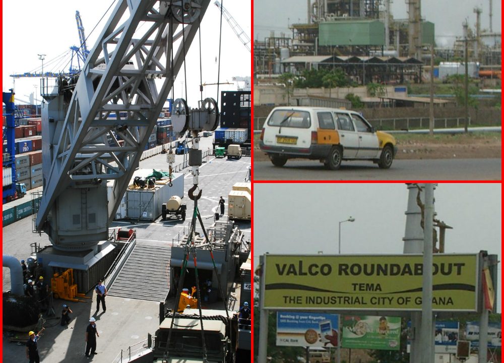
The harbour opened in 1962 and became Ghana’s main port. Factories followed, including the aluminium smelter VALCO and an oil refinery. Tema grew into an industrial city with workers from across Ghana. Community 1 and nearby areas are close to the harbour and the old centre. Communities further out, such as Community 18, 20 and 25, developed later as the city grew. Some communities have become upmarket residential areas; others are crowded and ageing. Informal settlements such as Ashaiman grew next to the planned city.
Tema’s original plan has been stretched by population growth and unplanned building. Traffic, flooding and pressure on services have increased. The Tema Development Corporation still manages land and housing, but disputes over land ownership with traditional authorities are common.
A model and the Meridian
Tema remains one of the few planned cities in West Africa, and urban planners still study it. Its wide roads and organised layout contrast with the unplanned sprawl of much of Greater Accra. Tema also lies on the Greenwich Meridian, the zero line of longitude, close to where it crosses the coast, and a monument near the harbour marks the spot.
Most cities name their neighbourhoods after people, trees or battles. Tema gave them numbers, and residents have made those numbers into identities.